
The French national and departmental road network has a total length far greater than that of the toll network. However, driving on the free network profoundly alters the logistics of travel, from fuel management to regulatory constraints when crossing urban areas.
Crit’Air and ZPA Restrictions: The Invisible Constraint of the Free Network
Leaving the toll highway to take national and departmental roads involves crossing urban areas. However, the Crit’Air sticker is not only applicable to permanent low emission zones (ZFE). Prefectures can activate atmospheric protection zones (ZPA) or departmental atmospheric protection zones (ZPAd) during pollution peaks, and the decision can sometimes come the day before.
In this case, only vehicles displaying a Crit’Air sticker that meets the criteria set by the prefect can circulate, generally between 6 AM and 8 PM. For a road trip on free roads, this means that a summer pollution episode can block your passage through an entire city or even a whole department for several hours.
We recommend planning stays in France on Pulsion Laval by incorporating a check of prefectural alerts on Bison Futé from the preparation stage, which also publishes information related to low emission zones.
Another often overlooked point: the ZFE were voted for removal in mid-2025, but the legislative process is not yet complete. The situation remains transitional, with possible regional relaxations. Counting on an effective removal to plan a road trip in 2026 would be premature. Check the ZFE status of each metropolitan area crossed before departure.

Free Highway Map in France: Sections to Know and Navigation Traps
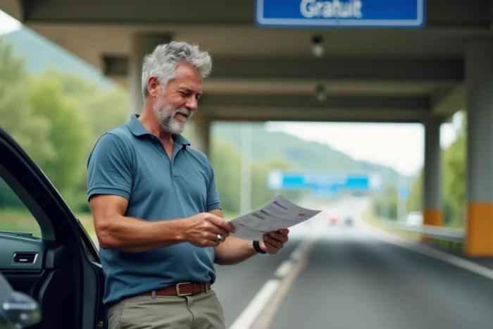
Not all French highways are toll roads. Some highway sections remain free, often on the outskirts of large urban areas or on historically non-toll routes. The trap: navigation apps do not always clearly distinguish free sections from paid ones when offering the “avoid tolls” option.
Activating this option in Waze or Google Maps does not guarantee an optimal route. The algorithm sometimes diverts to winding departmental roads when a free highway exists nearby. We observe that the combination of a map of free highways consulted before departure and a GPS set to “no tolls” yields better results than a GPS alone.
Points of Caution on GPS Settings
- Ensure that the “avoid tolls” option is activated for each leg, not just for the overall route. Some apps reset the setting with each recalculation.
- Free sections near metropolitan areas (bypasses, ring roads) may cross a ZFE. The GPS will not alert you.
- On two-lane national roads, the travel times displayed by the GPS are often underestimated during the summer, when truck and camper traffic slows down circulation.
Fuel Budget on Free Roads: A Cost to Recalculate for Each Leg
Driving without tolls does not mean driving cheaper overall. The overconsumption associated with secondary roads (braking, accelerations, variable speeds) partially offsets the toll savings. On a mid-sized gasoline vehicle, consumption on national roads often exceeds that measured on highways at stabilized speeds.
The actual gain depends on the distance. On a short trip, the toll savings clearly outweigh the costs. On a long trip with many village crossings, the difference decreases. We recommend calculating the total cost (fuel + potential toll) for both options before each leg, rather than relying on a general rule.
Diesel, Hybrid, Classic: The Vehicle Changes the Equation
A recent diesel vehicle with a Crit’Air 2 sticker remains allowed in most active ZFE, but the trend toward restrictions on diesel is confirmed. If you are planning a road trip in France with an older vehicle, check your eligibility city by city.
Vehicles over 30 years old registered as classic enjoy a derogatory regime allowing them to circulate in ZFE despite the absence of a favorable Crit’Air sticker. This technical point is rarely mentioned in road trip guides, but it changes the game for classic car enthusiasts.
Accommodation and Stops: Adjusting the Pace to the Secondary Network
On the highway, rest areas naturally structure breaks. On the free network, it is up to you to plan the stops. National and departmental roads pass through towns where accommodation options vary greatly depending on the season and region.
Prefer stages of 200 to 250 km per day maximum on the secondary network. Beyond that, the fatigue from winding roads and village crossings accumulates much faster than on highways. The road trip on free roads is not a fast journey: it imposes a different pace.
- In a camper or converted van, locate free municipal parking areas, often absent from mainstream apps but listed on specialized platforms.
- In a car with fixed accommodation, book at least the first and last night. Intermediate stops can remain flexible outside of peak season.
- Always plan a backup option for each night: a campsite, a guesthouse, or a hotel within a reasonable radius of your planned stop.
The French secondary network offers varied routes, but each stop requires prior verification of traffic restrictions, actual fuel costs, and available accommodation options along the way.