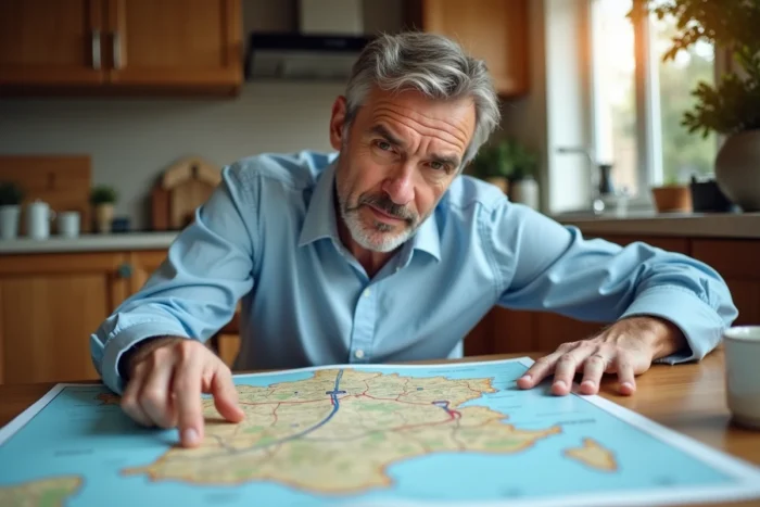
The French motorway network is undergoing transformations in 2026 that go beyond toll rates. The gradual disappearance of physical barriers, the increase in license plate reading gantries, and new online mapping tools: the way to prepare for a long-distance journey is changing profoundly. Understanding these developments before hitting the road helps avoid surprises at payment time or during planning stages.
Free-flow tolling on motorways: the affected sections in 2026
The least visible topic on a map, yet the one that most alters the driving experience, is the removal of toll barriers in favor of free-flow tolling. The principle: gantries equipped with cameras read license plates as vehicles pass, without slowing down or waiting in line. Payment is made after the journey, via a toll badge, a website, or an authorized tobacconist.
In 2026, several routes are already operating under this model. The A79 was the first French motorway entirely designed for free-flow. The A13 and A14 sections between Paris and Normandy followed, along with a portion of the A4 (exit 36). Other operators, like ATMB on the A40, are announcing schedules for gradual transitions.
For motorists consulting the map of French motorways 2026 before departure, this information is a game changer. A free-flow section does not appear the same way as a traditional toll station on an interactive map. Without a barrier, the driver can cross the area without even realizing they have just generated a bill.
The concrete risk: receiving a surcharge for late payment (usually a few days after passing through). Field reports vary on this point, with some motorists reporting variable billing delays depending on the operators.

Interactive map of motorways: what distinguishes the available tools
Several platforms offer mapping of the French motorway network, but they do not all show the same data. The ASFA (Association of French Motorway Companies) website aggregates routes, rates, traffic forecasts, and webcams. Operators like VINCI Autoroutes or APRR have their own maps, focused on their sections.
The difference lies in three criteria:
- The overlay of real-time traffic with planned work zones, absent from some tools that limit themselves to a static layout.
- The clear identification of free sections and toll sections, which do not fall under the same operators and are not always shown on the same map.
- The location of electric charging stations and service areas, which has become a full-fledged planning criterion for electric vehicles.
The government portal cartes.gouv.fr now integrates layers of road data, but its approach remains generalist. For precise motorway travel, cross-referencing at least two sources (a concessionaire map and a real-time traffic tool) remains the most reliable method.
Toll rates 2026 and discounts for frequent trips
The annual increase in toll rates is part of the landscape, but 2026 introduces a new element. Discounts for frequent trips are now regulated at the national level, beyond the specific arrangements of each operator. Motorists making regular round trips on the same section can benefit from discounts, provided they use a registered toll badge.
The available data does not yet allow for conclusions about the actual extent of these discounts for all user profiles. The amounts vary depending on the operator, the number of monthly passages, and the vehicle class. However, the principle of an obligation to offer these discounts is established.
For occasional trips (holiday departures, long weekends), the calculation remains classic: the toll cost depends on the distance traveled and the vehicle category. A trip from Paris to Lyon or Paris to Lille represents a significant budget, which alternative routes via national roads can reduce, at the cost of a considerably longer travel time.
Free alternative routes: a real time-budget trade-off
France has structuring national roads that double certain motorway routes without tolls. The trade-off is not just a matter of cost: on some corridors, the difference in travel time exceeds two hours for a journey of a few hundred kilometers. On others, it is limited to about thirty minutes.
Interactive maps that display both motorway routes and free alternatives simultaneously allow for visualizing this gap. The choice depends on tolerance for driving time, the day of departure (national roads also become congested during major traffic flows), and the desired comfort level.
Preparing for a motorway journey in 2026: pitfalls to know
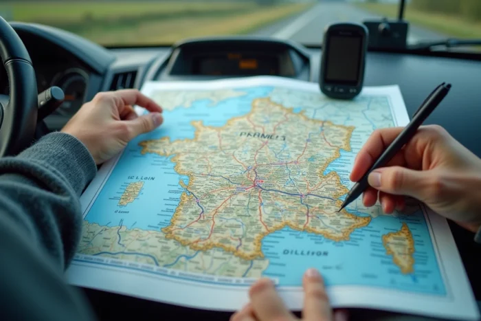
The generalization of free-flow creates an unprecedented situation: a motorist can drive on a toll section without knowing it. Signs exist, but at motorway speed, the information passes quickly. Checking before departure if the route takes a free-flow section helps avoid unpleasant surprises.
A second pitfall concerns public GPS applications (Google Maps, Waze). They optimize travel time, not cost. A “fastest route” may include several toll sections, while a slightly longer variant avoids half of them. Tools dedicated to motorways allow filtering by economic criteria, which general GPS may not always offer.
- Check the list of free-flow sections before each trip, as new transitions are scheduled throughout the year.
- Compare the total toll cost between the default GPS route and a manual variant, especially for trips longer than three hours.
- Ensure that the toll badge is correctly associated with the right vehicle and up to date with payments, to avoid receiving a surcharge notice.
The French motorway network remains one of the densest in Europe, with a majority of kilometers subject to tolls. The 2026 map is not just a simple road plan: it is a financial decision-making tool as much as a geographical one. Taking ten minutes to consult it before departure can save several dozen euros in unexpected costs.